
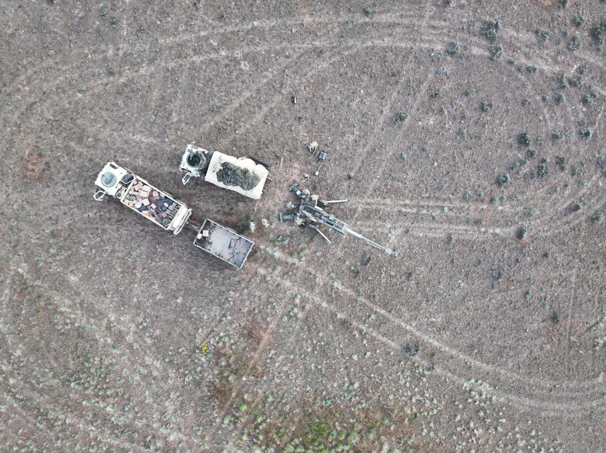
Military Support
As a retired U.S. Army Green Beret and the owner of Red Raven Drones, I bring 35 years of expertise in Unconventional and Asymmetric Warfare. Over the past two decades, my experience has been shaped by adapting tactics, techniques, and procedures to counter the evolving threats of Improvised Explosive Devices (IEDs) and Unmanned Aerial Systems (UAS). This deep operational knowledge has reinforced my belief in the critical need to integrate technical solutions with fundamental soldiering skills, ensuring that warfighters are equipped with both the strategic mindset and advanced tools necessary to succeed in modern combat environments.
Thermography
Thermography, using infrared cameras, helps identify hidden problems like water leaks, heat loss, insulation issues, and electrical problems, allowing for early detection and cost-effective repairs. Thermography is a tool and does not replace a hands-on inspection by a certified contractor.
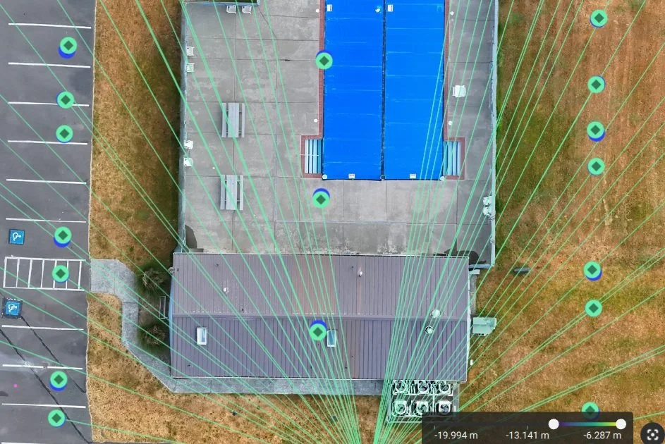
2D/3D Mapping
2D and 3D aerial orthomosaic mapping is a way to create accurate maps and models of the Earth’s surface using drone or airplane photos taken from above.
2D Orthomosaic Mapping:
A 2D orthomosaic map is a detailed, flat image made by stitching together many overlapping aerial photos.
It's corrected for distortion, so distances and shapes are accurate — like a super-precise Google Map.
Useful for measuring areas, checking land features, and planning construction.
3D Orthomosaic Mapping:
A 3D orthomosaic creates a three-dimensional model of the landscape using those same aerial photos, showing height and depth.
This 3D model can show buildings, terrain, trees, and other features in full detail.
Great for surveying, architecture, mining, and environmental monitoring.

Contact us
Interested in working together? Fill out some info and we will be in touch shortly. We can’t wait to hear from you!